Geography
A territory stretching from the Gulf of Guinea to the Niger River, organised into twelve departments with strikingly diverse landscapes.
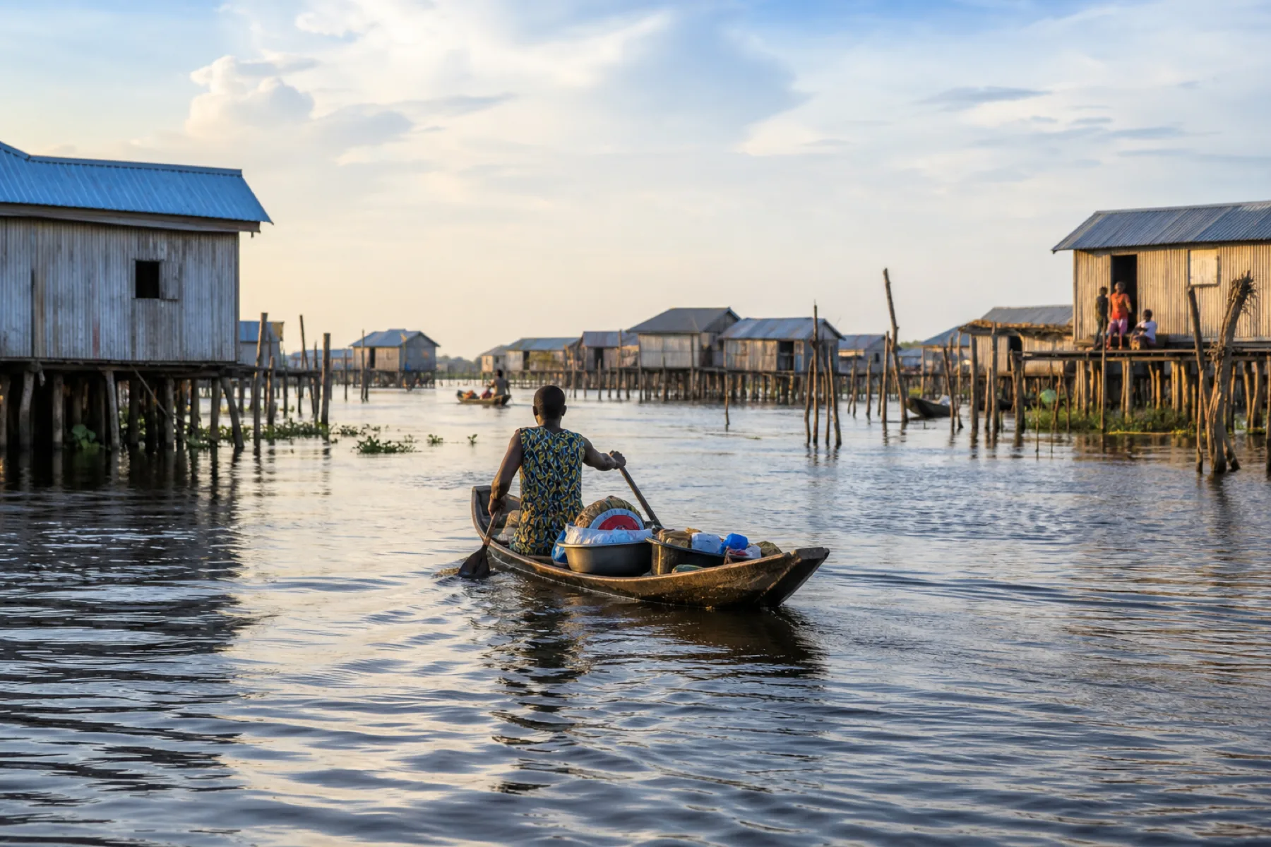
Benin stretches nearly 700 kilometres from north to south, between the Gulf of Guinea and the Niger River, with a width never exceeding 325 kilometres.
Main regions
- The coast: a 125 km sandy strip lined with lagoons, home to Cotonou, Ouidah and Grand-Popo.
- The southern plateaus: fertile, densely populated lands around Porto-Novo and Abomey.
- The centre: wooded savannah and farming areas.
- The north: the Atacora range, Pendjari National Park and the Niger valley.
Climate
The south has a sub-equatorial climate with four seasons; the north a Sudanian climate with two seasons and the harmattan wind from December to February.
Administrative organisation
The country has twelve departments: Alibori, Atacora, Atlantique, Borgou, Collines, Couffo, Donga, Littoral, Mono, Ouémé, Plateau and Zou.